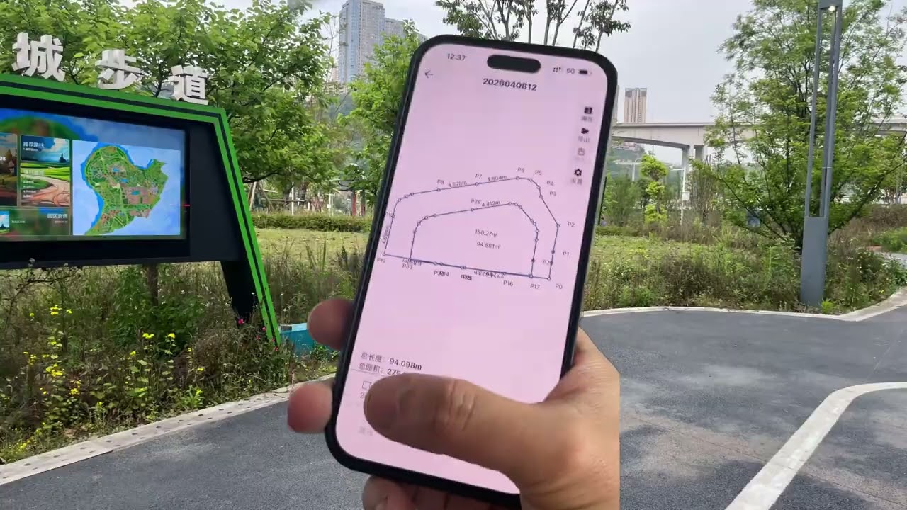
BAORULER Motion-Based Measuring Tool Demo
See how BAORULER supports outdoor measuring, mobile app connection and field layout recording.
Watch quick tutorials for setup, app connection, accuracy tips and field measurement workflows.
Master setup, measurement modes & editing functions with official walkthrough videos
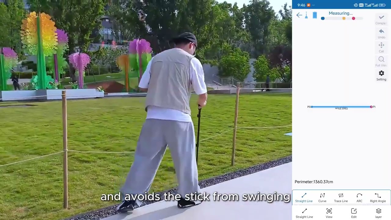
Meet BAORULER — the next-generation measuring tool powered by inertial motion sensing technology. No complex setup, no GPS required. Just move it to measure distances, perimeters, and areas with professional-grade precision. This video introduces how BAORULER works, its core advantages, and why it’s the perfect upgrade for your measuring workflow.
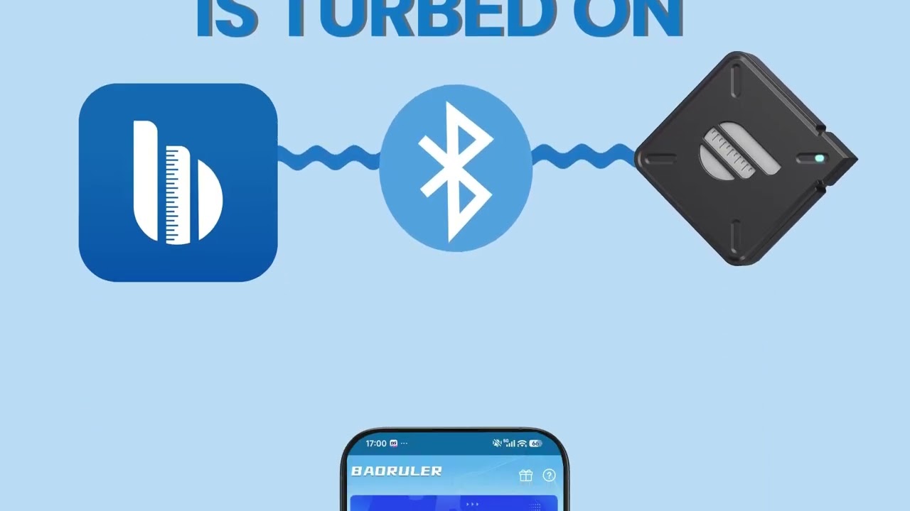
Ready to connect your device? This guide walks you through installing the BAORULER app, creating your account, and pairing your device via Bluetooth. Complete these quick steps to sync your measurements, save projects, and unlock all app features for a seamless experience.
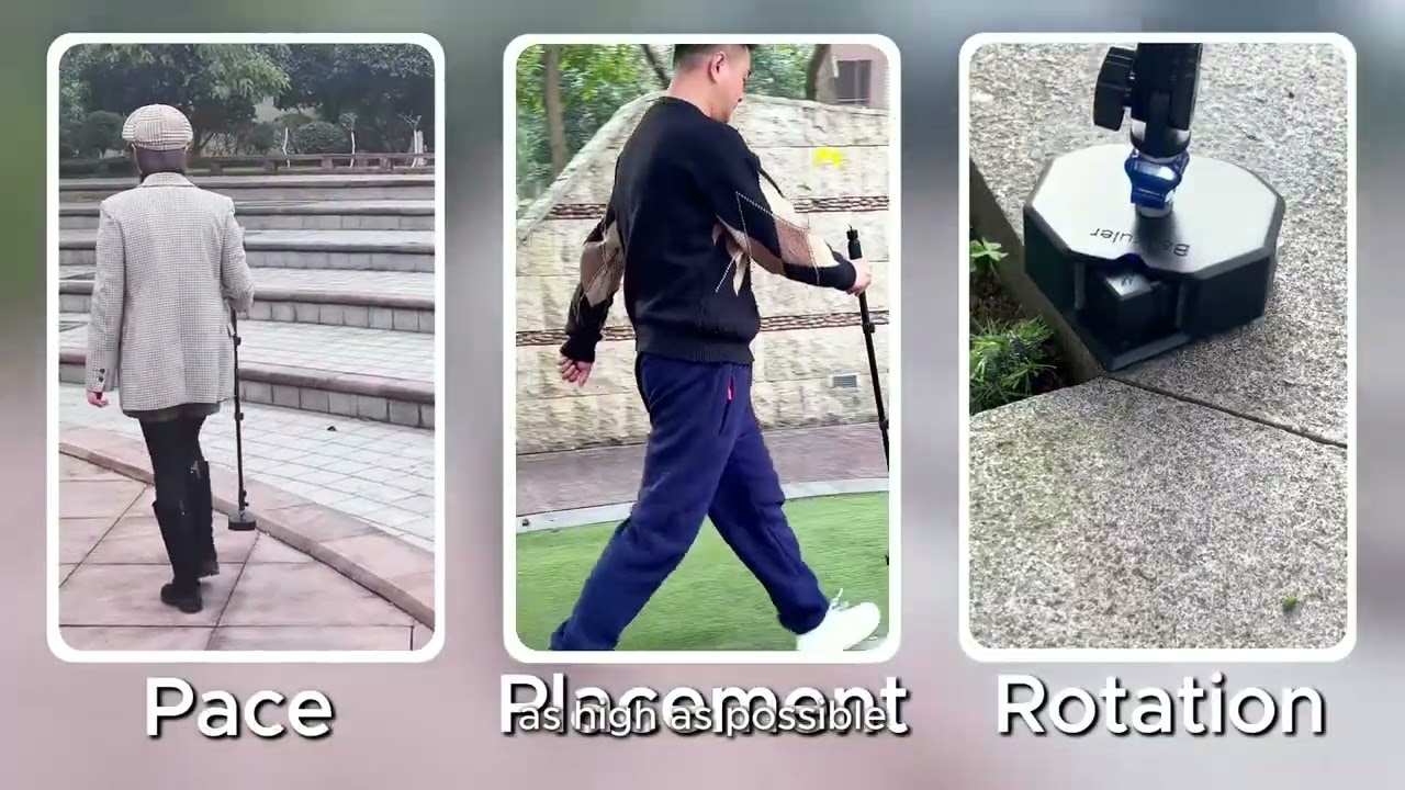
From small rooms to large outdoor layouts, BAORULER makes measuring perimeters and areas faster than ever. This video shows you how to walk through any shape — curved or straight — and get instant, accurate area and perimeter readings. No tape measure, no guesswork.
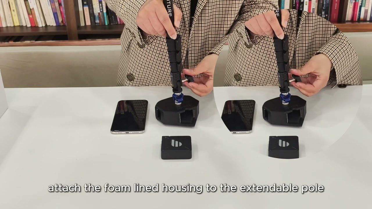
Get your BAORULER ready for use with this step-by-step installation guide. Learn how to assemble the auxiliary rod, attach foam liners, and set up your device for stable, comfortable measuring in outdoor sites and large spaces. Follow these simple steps to start measuring like a pro.
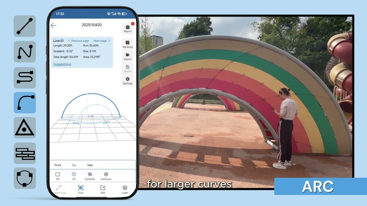
Discover every way BAORULER can measure. This guide covers core measurement types: linear distance, continuous path, perimeter, area, and advanced functions like split mode and multi-graphic output. Learn which mode fits your project — from construction to landscaping — and how to use them effectively.

Learn all core functions of the Baoture edit menu in this tutorial. Edit measured dimension values, adjust annotation styles, add custom text notes, split or erase drawn lines, switch measurement units, and export finished drawings as image & PDF files. Correct drawing errors directly on-device without repeated re-measurement to improve your layout & measuring efficiency greatly.
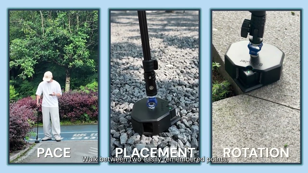
The Measuring Layers guide shows you how to capture multiple areas or shapes within a single measurement. By defining a clear reference edge, you can build up several layers that align accurately, giving you a complete diagram of your project. This section covers: 1.How the Layers feature works; 2.Step-by-step instructions to create layers; 3.Key tips for accuracy and repeatability; 4.Using Closed and Open Shape measurements.
Guide customers from first connection to field measurement, then toward product purchase, app download or support.
Quickly understand what BAORULER measures and where it is most useful.
Follow the setup tutorials before taking the tool to a construction or landscaping site.
Use the accuracy and function videos to get more consistent results in real conditions.
Use captured measurement data for plans, layout decisions and documentation.